 Expedition Navigation Software
  1 of 1
| General Discussion » Great Lakes Surface Analysis and Forcast » 1/12/2025 7:55 am |
- joshlutton
- Replies: 7
-
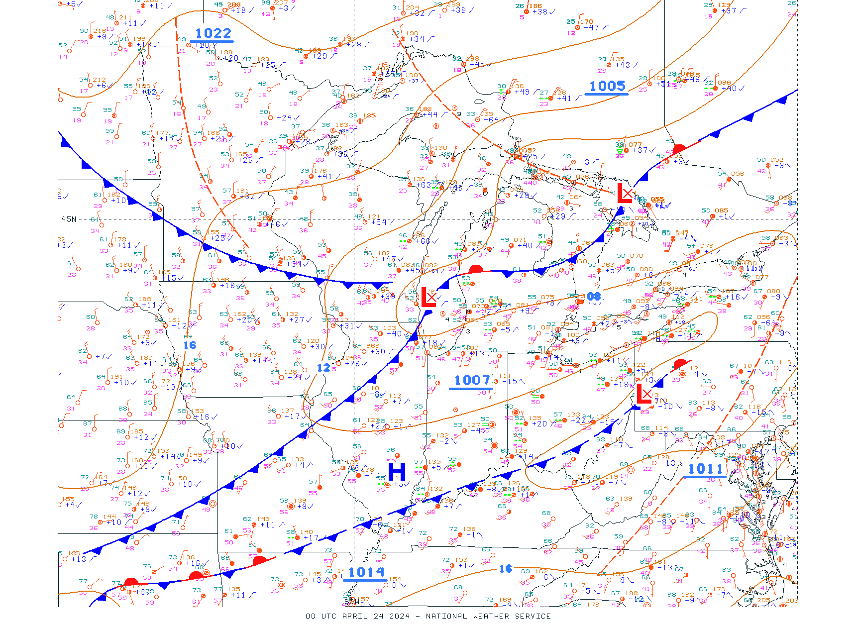
Coming on to an old thread...I'm trying to figure out the surface analysis thing for the Great Lakes as well.
As a broader solution (not just Great Lakes), it would be great to get the WPC conus surface analysis and/or forecasts in Expedition. See
Those are clearly not Mercator projections though. Does anyone have any hints on the settings I could use to import them manually? I've tried a bunch of different settings but haven't found a solution that works. I'm not sure if it is not possible or if I just don't understand projections well enough.
I've successfully imported the OPC's "USA Midwest" surface analysis (see ), which appears to be on a Mercator projection. That would be a cool one to fetch automatically.
1 of 1